Niederbronn-les-Bains → Lichtenberg

GR53 · Northern Vosges18.96 km+765 m
Profile and track
100200300400500600215 m310 mphoto · km 0.0photo · km 3.3photo · km 3.5photo · km 5.6photo · km 9.1photo · km 17.819 km

D+ 765 mD− 670 mProfile from: our trackLow point 191 mHigh point 531 m

photo · km 0.0photo · km 3.3photo · km 3.5photo · km 5.6photo · km 9.1photo · km 17.8
Map: © OpenStreetMap contributors

The stage

Another fully self-sufficient day: the route avoids Oberbronn and Offwiller, and the climb is steep as soon as you leave Niederbronn. At the end of the forest, Lichtenberg castle watches over the village. Note: no grocery shop at the finish, only a bread vending machine next to the town hall.

Highlights

  • Lichtenberg castle
  • Forests of the Hanau country

Water

No village on the route: fill up with water AND food in Niederbronn before leaving. 2.5 L per person if the weather is hot.
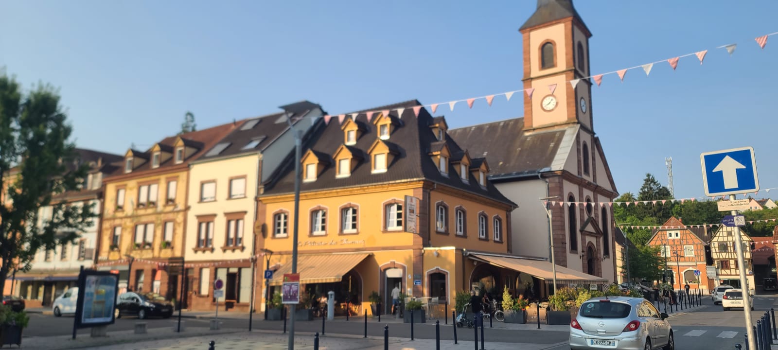
Démarrage 8 h pétantes ! Il va faire chaud, jusqu'à 38⁰C à 14h !
Démarrage 8 h pétantes ! Il va faire chaud, jusqu'à 38⁰C à 14h ! · km 0
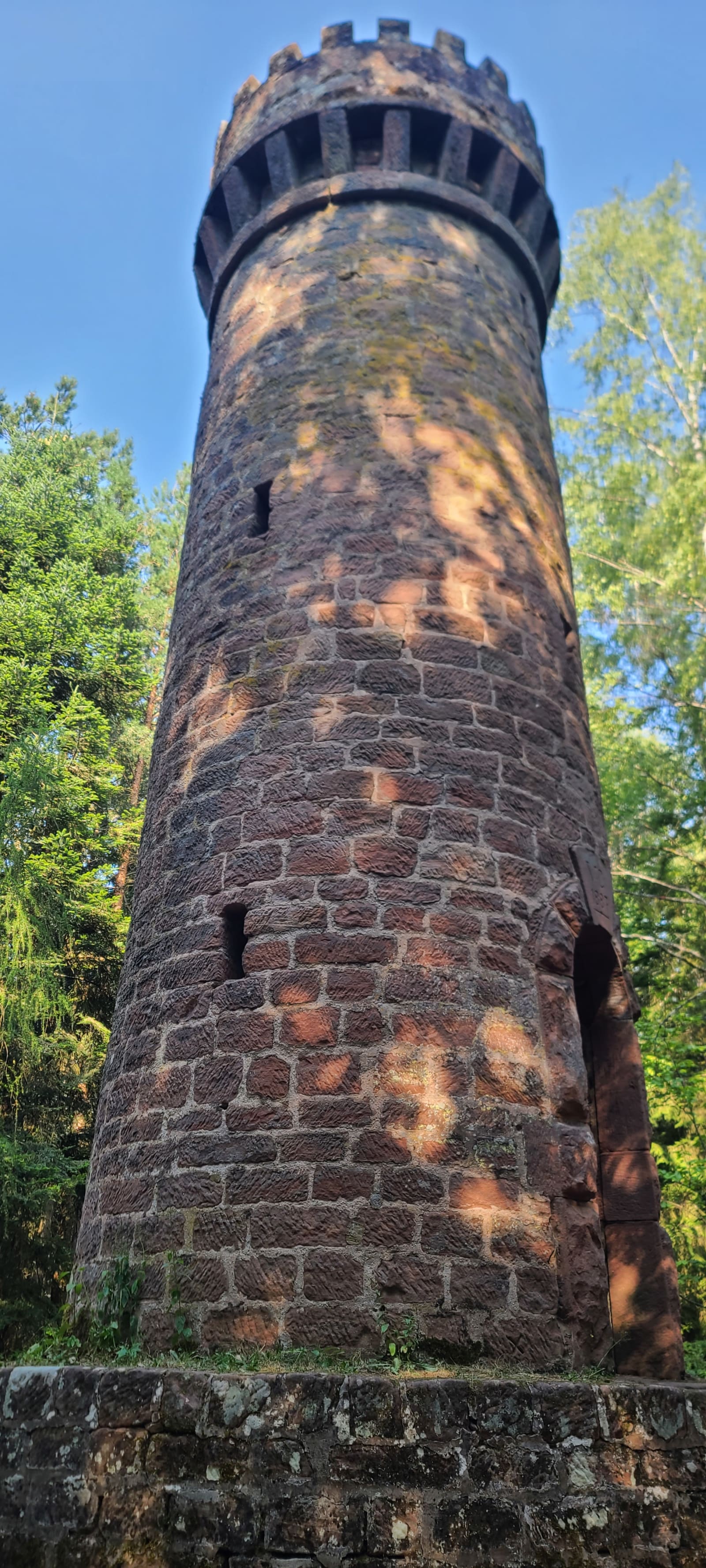
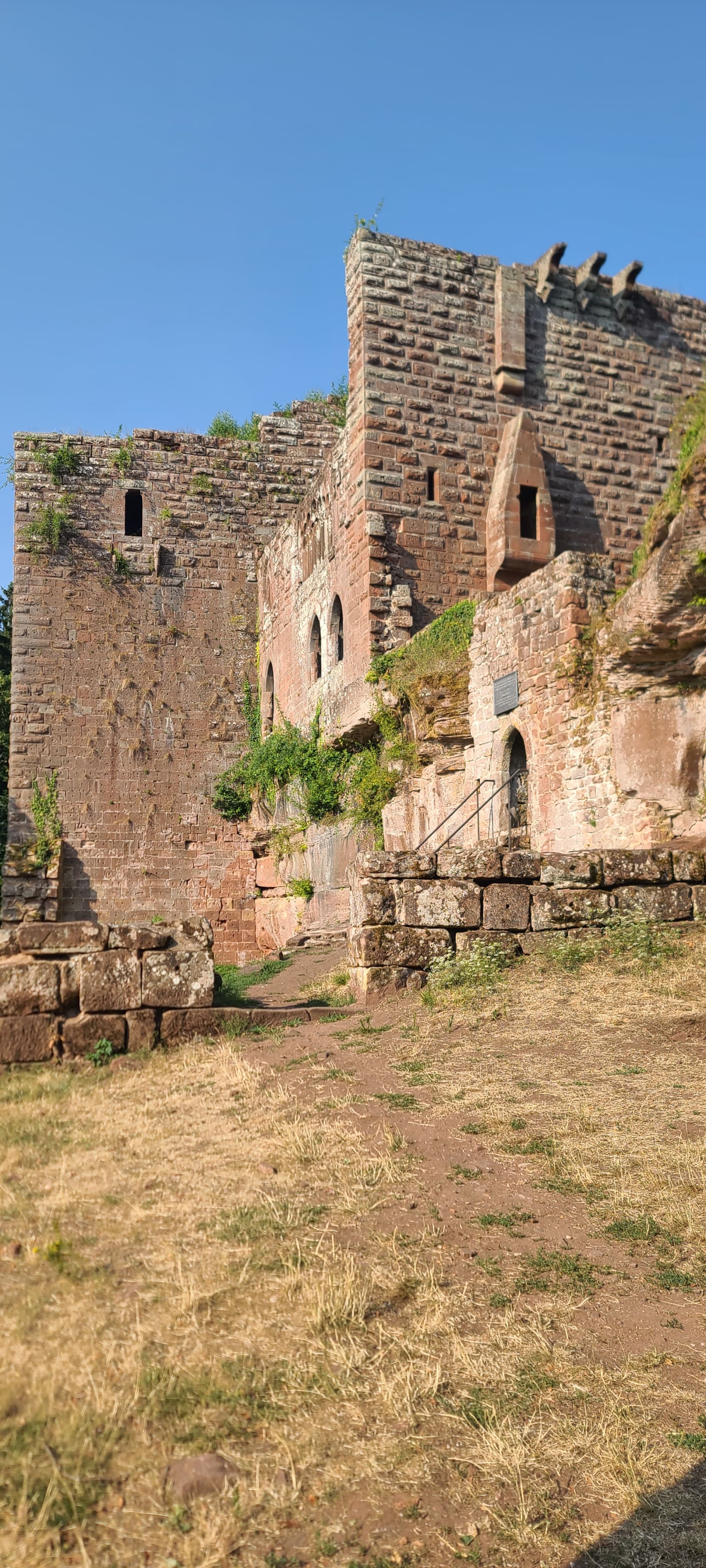
230 m de dénivelé non-stop pour arriver au château de Wasenbourg !
230 m de dénivelé non-stop pour arriver au château de Wasenbourg ! · km 3.3
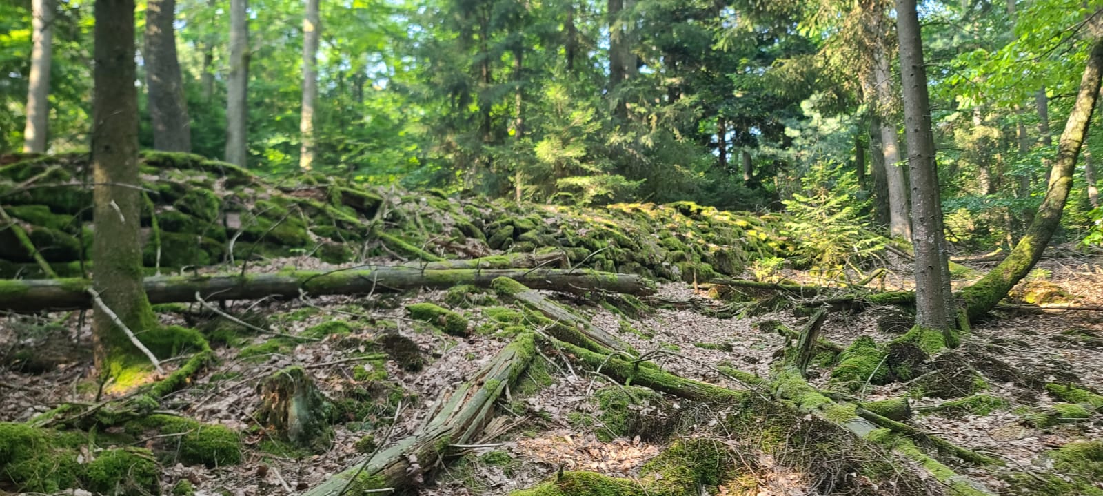
Le jardin des fées !
Le jardin des fées ! · km 3.5
Point culminant de la journée ! Mais elle n'est pas terminée...
Point culminant de la journée ! Mais elle n'est pas terminée... · km 5.6
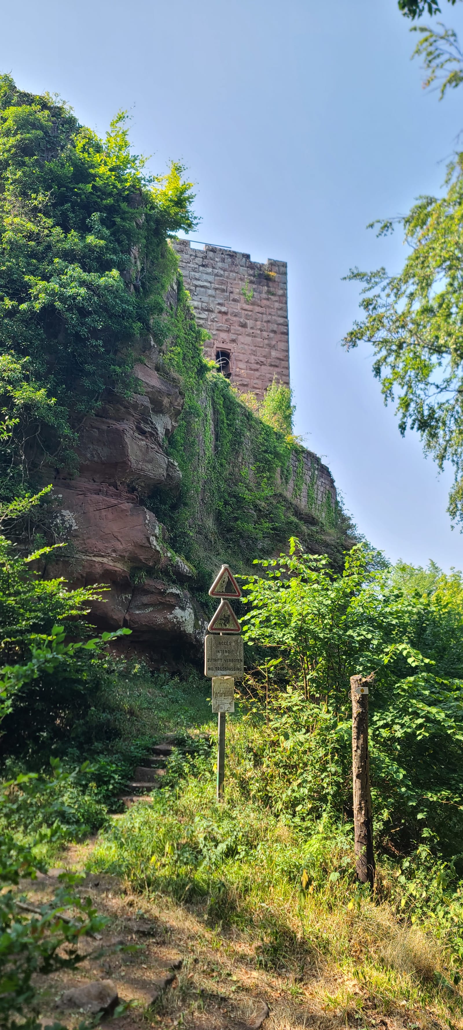
Le château Grand Arnsbourg !
Le château Grand Arnsbourg ! · km 9.1
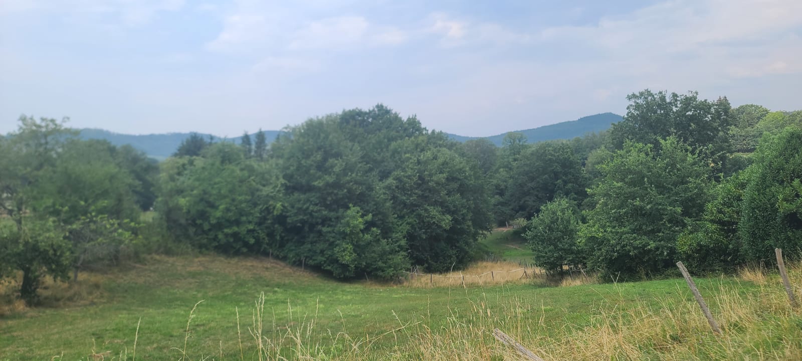
Arrivée à Lichtenberg !
Arrivée à Lichtenberg ! · km 17.8
Strava