Dabo → Wangenbourg-Engenthal

GR53 · Northern Vosges9.26 km+321 m
Profile and track
400500600700471 m463 mphoto · km 0.0photo · km 3.1photo · km 3.7photo · km 8.79.3 km

D+ 321 mD− 328 mProfile from: our trackLow point 455 mHigh point 692 m

photo · km 0.0photo · km 3.1photo · km 3.7photo · km 8.7
Map: © OpenStreetMap contributors

The stage

The final stage, short and forested. You leave Dabo through the woods to cross the highest point of the whole route, around 690 m, just before dropping down to Wangenbourg-Engenthal. Half a day to savour.

Highlights

  • Highest point of the route (~690 m)
  • Village of Wangenbourg-Engenthal

Water

Little water in between, but the stage is short: 1.5 L per person.
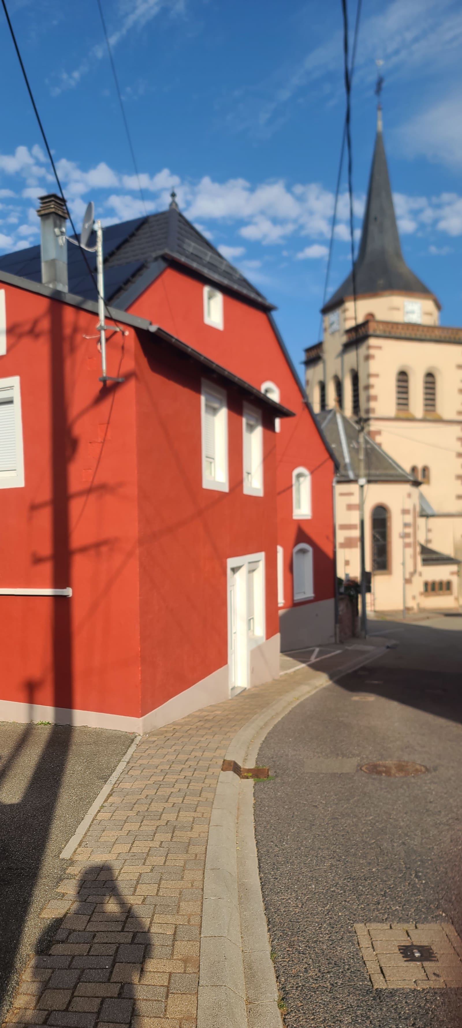
Dernière étape de cette randonnée ! Départ 8h45 !
Dernière étape de cette randonnée ! Départ 8h45 ! · km 0
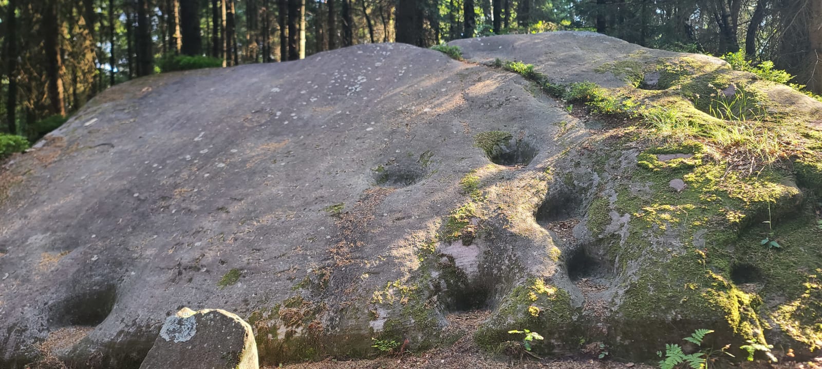
Le Rutschfelsel !
Le Rutschfelsel ! · km 3.1
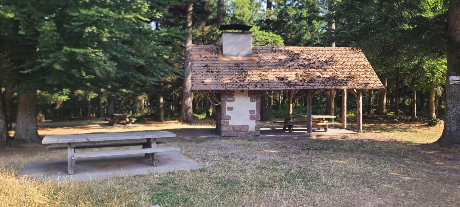
Le dernier point culminant : le col de la Schleif à 687 m !
Le dernier point culminant : le col de la Schleif à 687 m ! · km 3.7
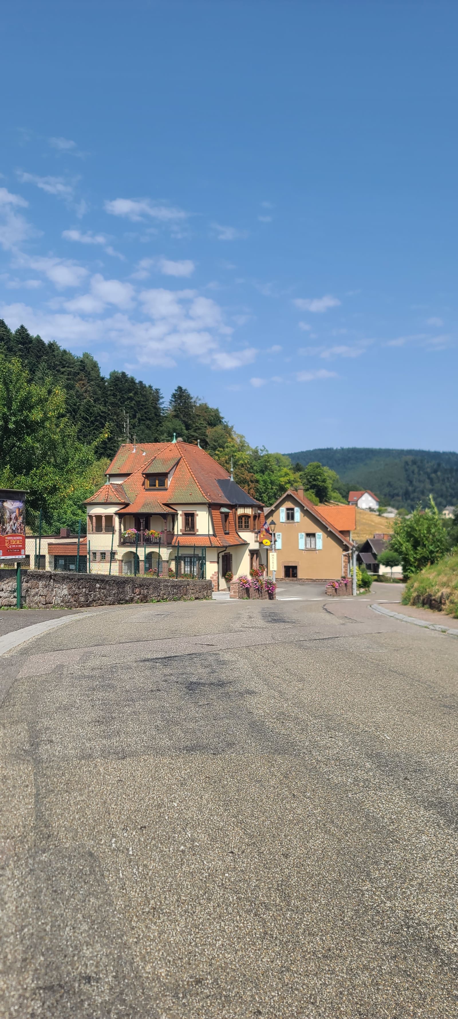
Ça y est  ! Fin de notre randonnée ! 🥺
Ça y est ! Fin de notre randonnée ! 🥺 · km 8.7
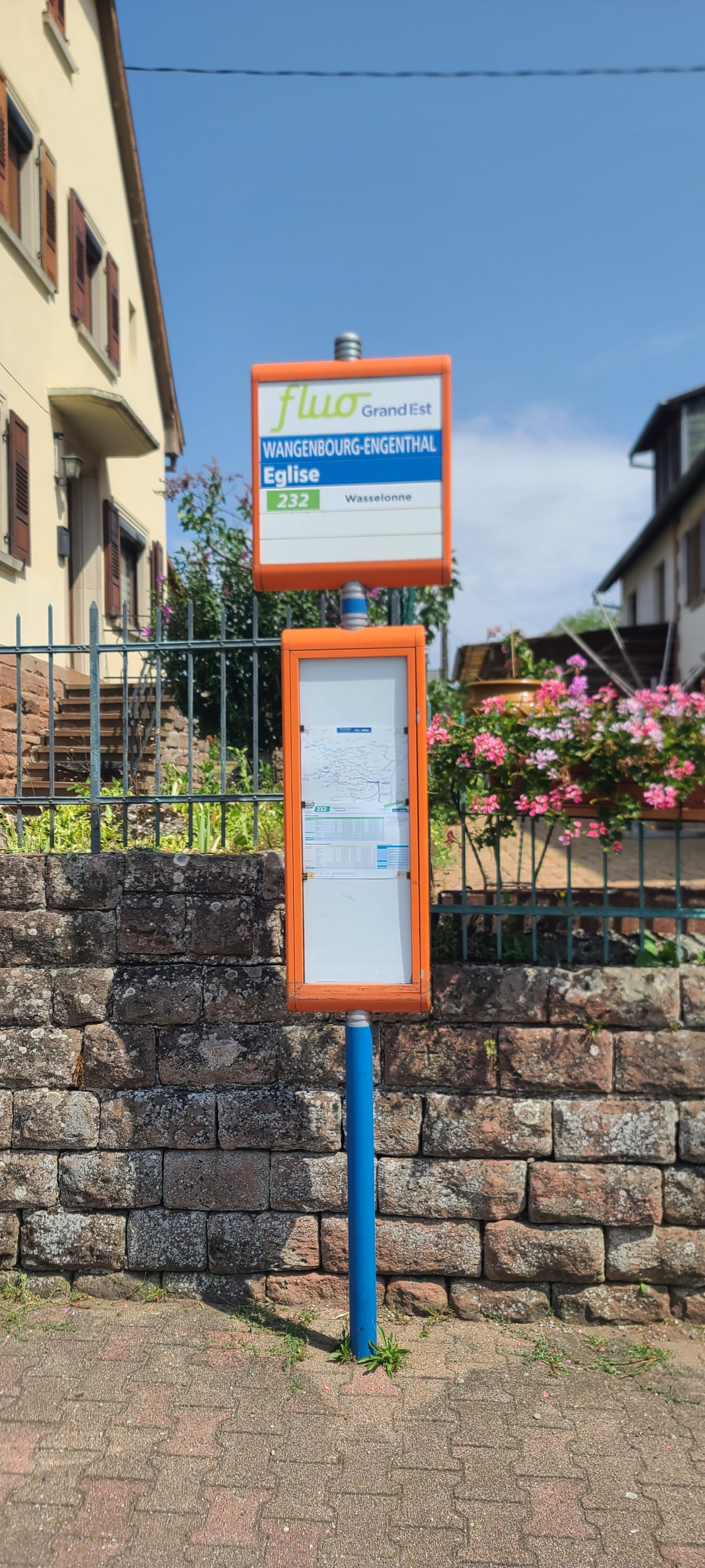
Moyen de locomotion pour retourner à Strasbourg 😊 !
Strava